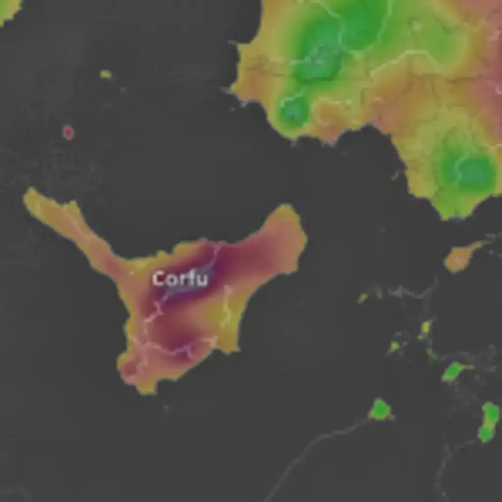
Corfu, January 29, 2026 – The low-pressure system that has been affecting Corfu with strong, intermittent rainfall is expected to begin weakening by late Thursday afternoon, according to the latest weather forecasts. The system will move north and east, leading to a shift in winds to northwesterly directions, with gusts reaching up to 7 Beaufort in some areas of the island.
Wind Shift and Temperature Drop
As the low-pressure system moves away, the winds will turn from late Thursday afternoon to northwesterly, with maximum gusts locally reaching up to 7 Beaufort. A gradual weakening of these winds is anticipated from Thursday evening onwards. It is important to note that particular attention should be paid to the wind gusts, as colder air masses will be present due to the wind direction originating from colder regions such as the Western Balkans. This weather instability is a typical pattern following the passage of a low-pressure system.
In meteorology, it is a rule that once a low-pressure system has delivered its associated weather phenomena, it moves away, and the winds subsequently shift to westerly or northwesterly. This change will also enhance the perception of cold, as the northwesterly winds will make the ambient temperature feel lower than the actual recorded temperature.
Decreasing Rainfall and Faster Improvement
Rainfall intensity is expected to decrease in the coming hours as the system continues its northeastward movement. Due to the rapid progression of this low-pressure system, it is possible that the weather phenomena may subside even sooner than currently anticipated.
Friday’s Weather Outlook
For Friday, the forecast indicates sunny conditions with some cloud cover. Winds will blow from northwesterly directions, ranging from 3 to locally 5 Beaufort in the northwestern parts of the island. By midday, they will shift to southeasterly at up to 2 Beaufort, and by the afternoon, to easterly with the same intensity. The maximum temperature for Friday is expected to reach 15°C, while the minimum will be around 7°C. Humidity levels will be moderate during the day, reaching up to 95% at night.
Additional Weather Information and Warnings
Residents and visitors are advised to stay informed about the latest weather updates, especially regarding the strong winds. The shift in wind direction and the arrival of colder air masses could make outdoor conditions feel significantly colder. While the low-pressure system is moving away, isolated showers might still occur in some areas, though with reduced intensity.
The local authorities have not issued any specific warnings beyond general caution for strong winds. However, it is always recommended to secure loose objects and exercise care when outdoors during periods of strong gusts. The overall weather pattern is showing signs of improvement, leading towards more stable conditions over the weekend.
This weather development is part of a broader atmospheric change affecting the Ionian Sea region, with similar patterns observed in other islands. The rapid movement of weather systems in this area often leads to quick transitions from intense conditions to more settled weather.
The information provided is based on data from meteorological services and is subject to change. Always consult the most current local forecasts for the latest updates.
Source: https://www.startmediacorfu.gr/kerkyra-yfesi-ton-fainomenon-tis-epomenes-ores-strofi-ton-anemon-se-voreiodytikous-eos-kai-7-mpofor/