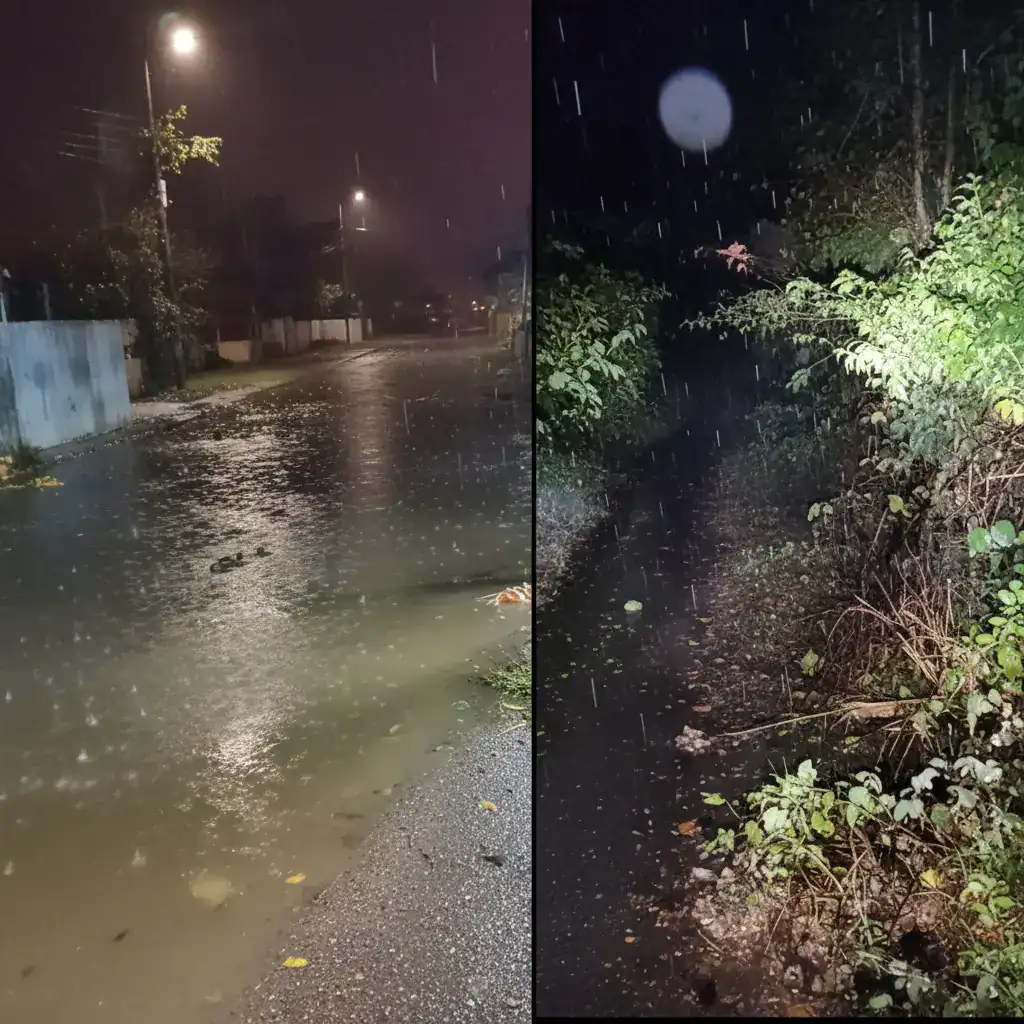
Corfu, Greece – Severe weather has battered numerous regions across Greece in recent hours, with Western Greece and the Ionian Islands at the epicenter of the disruption. Heavy rainfall has led to extensive damage and road closures, particularly on the island of Corfu.
Widespread Impact Beyond Corfu
Beyond Corfu, strong storms have also affected Parga, Arta, Ioannina, Igoumenitsa, and Kastoria. The Hellenic National Meteorological Service (EMY) issued an emergency weather warning yesterday, predicting a gradual de-escalation of the severe phenomena from late Friday night (November 21, 2025) into Saturday (November 22, 2025).
Significant Problems Reported in Corfu
According to ERT, the village of Karousades on Corfu is currently cut off due to a landslide and the collapse of a two-story building in the village center. Fortunately, no injuries have been reported. Cars have been buried under earth and rocks, rendering roads impassable.
Civil protection machinery from the municipality and region are operating at the scene. Power outages have been reported in the area from Karousades to Roda. Schools in Karousades, Velonades, Avliotes, the special school of Velonades, and kindergartens in Kavadades, Agros, and Peroulades will remain closed today in northern Corfu.
Serious issues have also emerged in Sidari, where roads are completely flooded. In the southern part of the island, problems are mainly concentrated along the road axis from Moraitika to Tsaki Benitson, caused by landslides and fallen trees. Central Corfu has not reported any significant problems.
Emergency Weather Bulletin Details
The EMY’s emergency bulletin highlights that strong rains and storms are expected today, Friday (November 21, 2025), in:
- The Ionian Islands (Corfu, Paxi, Lefkada, Kefalonia, Ithaca)
- Aetolia-Acarnania
- Epirus
A gradual abatement of the severe phenomena is anticipated from late Friday night (November 21, 2025) into Saturday (November 22, 2025).
Two Faces of the Weather Across Greece
Interestingly, data from meteo.gr reveals a stark contrast in weather patterns across Greece from Tuesday to Thursday. While significant rainfall and strong thunderstorms occurred in the western and northern parts of the country, phenomena in the south and east were very limited and of low intensity.
According to Meteo.gr, cumulative precipitation from early Tuesday, November 18, to 10:30 AM on Thursday, November 20, exceeded 200 millimeters in mountainous areas of Epirus. In contrast, parts of Thessaly, Central Greece, the Peloponnese, Evia, Crete, and the Aegean islands recorded no rainfall.
The highest cumulative precipitation was recorded at the Konitsa station, reaching 246.8 millimeters. Further information indicates that 29 out of 543 active stations in the meteo.gr / National Observatory of Athens network (approximately 5%) exceeded 100 millimeters of rainfall.
Source: kathimerini.gr