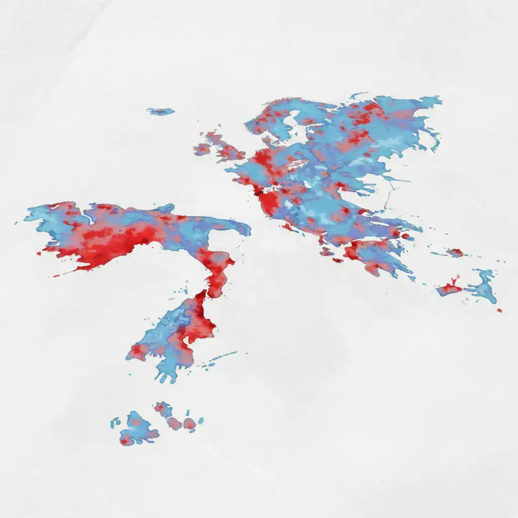
Corfu, Greece – In a groundbreaking initiative, scientists from across Europe, in collaboration with the Swiss Seismological Service in Zurich, have presented the continent’s first unified and comprehensive seismic risk map. This new interactive platform, named EFEHR, provides a more accurate picture of seismic threats and is designed to improve prevention and reduce the impact of earthquakes.
Corfu and Ionian Islands in the ‘Red’
The EFEHR platform combines data from seismologists and engineers to assess seismic risk across Europe. Several regions in Greece, including Corfu and other Ionian islands, are highlighted in the ‘red zone,’ indicating a high risk of a strong earthquake. The platform considers not only the increased seismic frequency of the island but also the age of buildings, population density, and areas of high seismicity as criteria for its risk assessment.
Expert Insights on the New Platform
Dr. Giannis Kopanas, a Physicist from the University of Athens and a seismology researcher, elaborated on the platform’s capabilities. “In 2020, following a significant effort by a team of scientists, the European seismic risk model was submitted. It is a platform that uses computer-processed data to show us which areas across Europe exhibit high seismicity. The model indicates high risk in the event of an earthquake. It is a model that takes into account both the seismicity of the area and the age or not of the buildings in these areas, and whether they are densely or sparsely populated.”
Improving Preparedness and Prevention
This new mapping, based on extensive data analysis, offers a more precise understanding of seismic threats. Its primary goal is to enhance preparedness and prevention strategies across Europe. By identifying high-risk areas like Corfu, authorities can implement targeted measures to reinforce infrastructure, educate the public, and develop more effective emergency response plans.
The Importance of a Unified Approach
The creation of a unified European seismic risk map represents a significant step forward in earthquake preparedness. Previously, individual countries or regions might have had their own assessments, but a continent-wide, standardized approach allows for better cross-border cooperation and a more holistic view of seismic hazards. This collaborative effort underscores the shared challenge of earthquake risk and the need for collective action.
Future Implications for High-Risk Regions
For regions like Corfu, being identified in the ‘red zone’ means a heightened focus on seismic resilience. This could lead to stricter building codes, increased investment in retrofitting older structures, and more frequent drills and public awareness campaigns. The interactive nature of the EFEHR platform also allows for continuous updates and refinements as new data becomes available, ensuring that risk assessments remain current and relevant.
The platform’s detailed analysis, combining geological data with urban development factors, provides a powerful tool for urban planners, emergency services, and policymakers. It enables them to make informed decisions that can ultimately save lives and reduce economic losses in the event of an earthquake.
The announcement of this new map comes as a crucial reminder of the ongoing seismic activity in many parts of Europe and the importance of proactive measures to mitigate potential disasters. It is expected to foster a more resilient and prepared European community in the face of seismic challenges.
Source: https://corfutvnews.gr/sto-kokkino-i-kerkyra-neos-diadrastikos-eyropaikos-hartis-seismikoy-kindynoy/