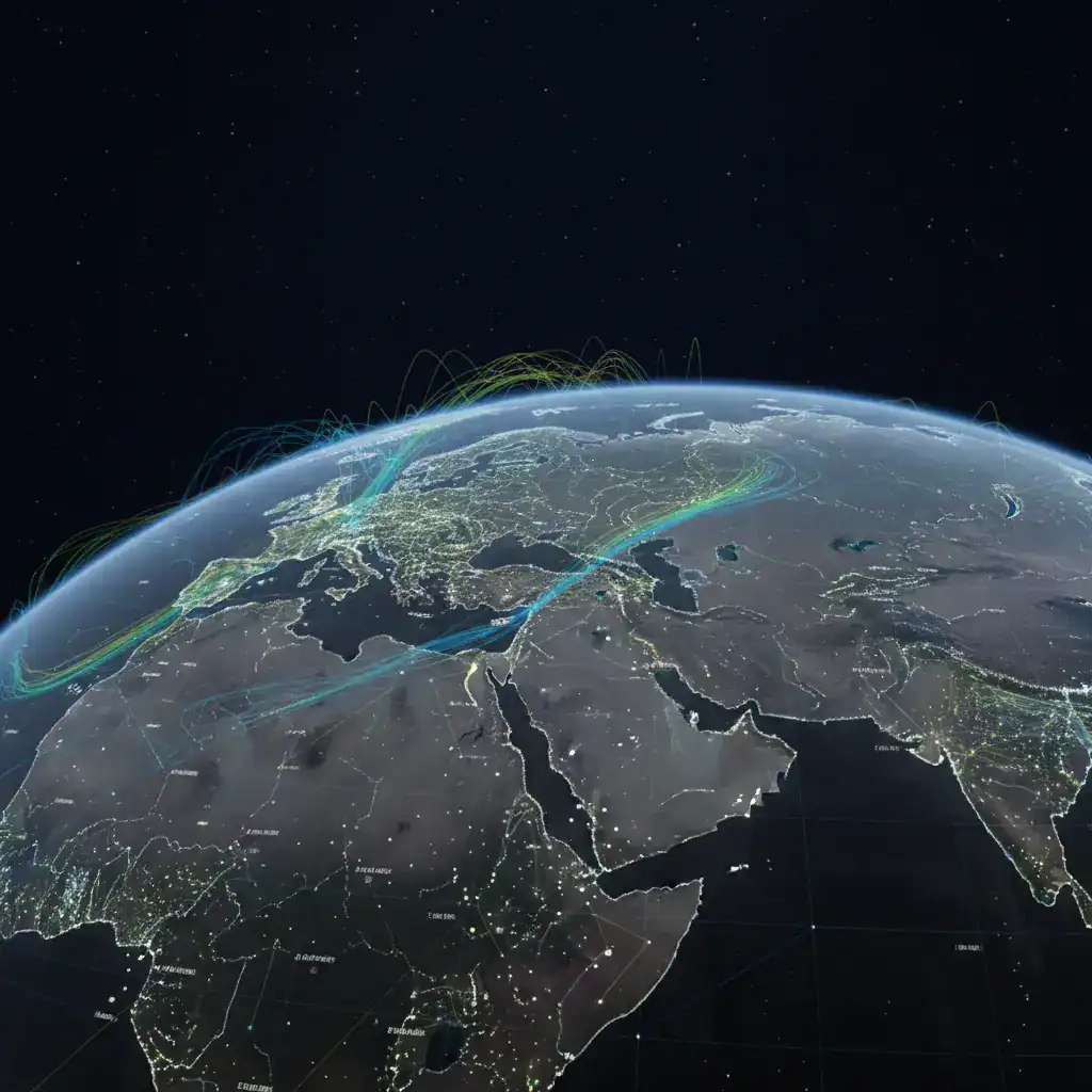
Corfu is entering an anticyclonic period in the coming days, following a low-pressure system that brought significant rainfall and intense weather phenomena, particularly to the central and eastern parts of Greece.
Anticyclones to Shield Corfu from Bad Weather
The formation of anticyclones from the Atlantic Ocean and Africa will create a protective barrier, shielding Corfu from rain and intense weather phenomena until Sunday, December 14th, according to the latest weather forecasts. The low-pressure systems that have affected us in recent weeks were frequent due to the absence of high-pressure systems in the wider region and a shift in the polar jet stream. Consequently, the position of these anticyclones will force cyclones from the North Atlantic Ocean to pass over the Mediterranean region and central parts of Europe.
Expected Weather Conditions
A key characteristic of high-pressure systems is abundant sunshine, with periods of cloudiness even at low altitudes during winter, as fog may also form. Additionally, winds will not be strong, and temperatures, at least for our region, will range from 7 to 8 degrees Celsius in the early morning hours to up to 17 degrees Celsius at midday.
The shift to an anticyclonic pattern signifies a welcome change for residents and visitors to Corfu, promising a period of more settled and pleasant weather after recent heavy rainfall. This stable weather window is expected to last for several days, offering a respite from the more turbulent conditions experienced previously.
Understanding Anticyclones and Their Impact
Anticyclones are areas of high atmospheric pressure, typically associated with stable, clear weather. Unlike cyclones, which bring storms and precipitation, anticyclones are characterized by descending air, which suppresses cloud formation and leads to calmer conditions. The current anticyclonic system is forming over the Atlantic and Africa, effectively blocking the path of low-pressure systems that would otherwise bring unsettled weather to the region.
This meteorological phenomenon is crucial for understanding the upcoming weather patterns. The absence of strong winds means that the sea will likely be calmer, which could be beneficial for local maritime activities. The mild temperatures, reaching up to 17 degrees Celsius during the day, are also quite favorable for this time of year, allowing for outdoor activities without the harshness of winter cold.
Comparison to Previous Weeks
In contrast to the past few weeks, which saw frequent low-pressure systems and significant rainfall, the arrival of this anticyclonic period marks a distinct change. The previous conditions were attributed to a lack of high-pressure dominance in the area and a shift in the polar jet stream, which allowed more unsettled weather to reach the region. The current setup, with anticyclones effectively diverting these low-pressure systems, demonstrates the dynamic nature of atmospheric patterns and their direct impact on local weather.
This period of stable weather is particularly noteworthy as it extends close to the mid-December mark, offering a relatively calm prelude to the deeper winter months. While some cloudiness and fog are possible, especially in the mornings, the overall outlook is one of improved conditions compared to the recent past.