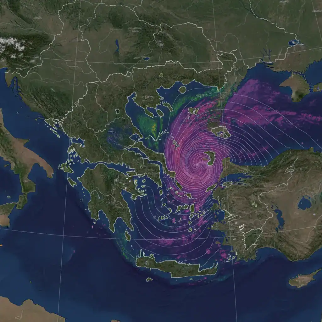
Corfu on High Alert: Torrential Rains and Landslides Expected
Corfu, February 14, 2026 – A new wave of severe weather is expected to hit Corfu from tonight, Saturday, February 14, 2026, bringing heavy rainfall and gale-force winds. The forecast from amateur meteorologist Nikos Vlachos warns of intense activity throughout the night, directly threatening the island’s already saturated ground.
Weather Deterioration and Storm Forecast
According to Nikos Vlachos’ analysis, a low-pressure system located in the Tyrrhenian Sea is moving towards southern Italy and is expected to affect the Ionian region from Saturday evening. The phenomena are predicted to become widespread, with periods of particularly intense activity, including localized rains, showers, and heavy downpours. The storm’s progression also includes intermittent thunderstorms, with a possibility of short-lived local hailstorms. The forecaster emphasizes that as night approaches, the intensity of the phenomena will escalate, making it essential for citizens to exercise caution during their movements.
Gale-Force Winds and the Risk of Storms
Of particular concern is the significant strengthening of winds, which will blow from southern-southeastern directions. Their intensity is expected to reach 6 to 7 Beaufort across most of the island, while in the Diapontia Islands, they are predicted to temporarily reach 8 Beaufort. In the western coastal areas, the mountains, and Paxos, the intensity will range between 5 and 7 Beaufort. The forecast warns of momentary gusts ranging from 5 to 9 Beaufort, with the possibility of isolated gusts reaching up to 10 Beaufort. The combination of these gale-force winds with intense rainfall may create storm conditions, and the possibility of land or waterspouts near coastal areas is also highlighted.
Saturated Ground and Infrastructure Vulnerability
This new wave of bad weather comes at a time when Corfu’s ground is at a critical point. The unprecedented accumulation of rainfall in recent months has transformed the subsoil into a loose substrate, with new rainfall dramatically increasing the risk of landslides and subsidence. The prolonged exposure of the land to enormous volumes of water since last November has led to complete saturation of the slopes. Hills and slopes in areas such as Palaiokastritsa, Pagoi, and Zygo show intense instability. Geotechnical analysis in recent days has shown that the morphology of the slopes, combined with the lack of retaining works and drainage systems in old road excavations, creates an explosive mixture. The natural erosion of the rock is accelerating, making the road network vulnerable to any new heavy rainfall.
Potential Impacts and High-Risk Areas
At sea, particularly strong waves are expected, especially in the Diapontia Islands, with waves potentially hitting the coastline in both Corfu and Paxos. On land, in addition to landslides and subsidence, Nikos Vlachos warns of possible minor flooding, falling trees due to strong wind gusts, and local power outages. The technical inability of the ground to manage water pressure makes the need for geological assessment urgent. The damage recorded on February 12 and 13, 2026, to the provincial and municipal network is an indication of the widespread instability. Authorities and citizens are urged to be vigilant, especially in areas where rockfalls and loose material have already been observed.
Recommendations and Weakening of Phenomena
A partial decrease in winds is expected in the early morning hours of Sunday. However, until then, the recommendation to citizens is to exercise extreme caution, especially in areas of the prefecture known for their danger in conditions of strong southerly winds and high rainfall. The deterioration of the weather from tonight is a test for the island’s infrastructure, which has already undergone significant strain. The evolution of the phenomena will be closely monitored, as the dynamics of the low-pressure system from the Tyrrhenian Sea remain strong.
Source: https://kerkyra.net/sto-kokkino-kai-pali-vrochothyelles-kai-katolisthiseis/