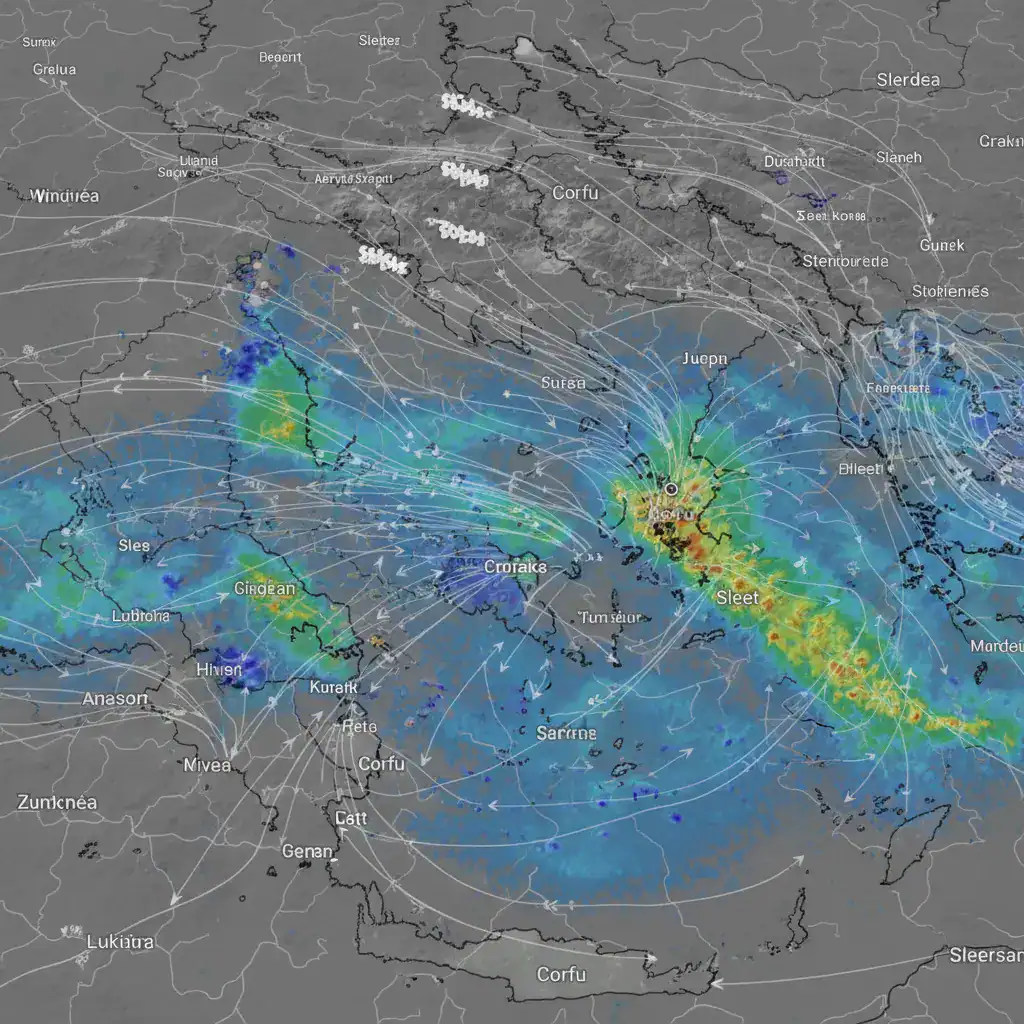
Corfu, January 17 – The Ionian island of Corfu is preparing for a significant shift in weather conditions, with meteorologists forecasting a period of cold temperatures, strong winds, and the potential for rain or sleet. The change is attributed to a complex meteorological setup involving a high-pressure system from Russia and an approaching low-pressure system from the west.
Anticyclone from Russia Brings Cold Air
Greece has gradually begun to be affected by high pressures due to a high-pressure system in the Russian region. This anticyclone is expected to move southwest towards Greece, bringing cold air masses and a notable drop in both maximum and minimum temperatures. Typically, high-pressure systems are characterized by a lack of rainfall, sunny spells, and increased cloud cover during the day.
Complex Weather Dynamics: Atlantic and North African Influences
Adding to the complexity, the descent of these extremely high pressures in Southern Europe, combined with a high-pressure system in the Atlantic Ocean and a low-pressure system from the wider region, will create low pressures from the west of Greece. This low-pressure system, a cyclone, will be strengthened by warm and cold air masses from North Africa, Russia, and the Atlantic Ocean, which carry significant moisture into Europe, enhancing cloud formation.
Corfu Weekend Weather Outlook
Here’s a detailed look at the weather evolution for Corfu over the weekend:
- Saturday: Morning clouds are expected to give way to sunshine later in the day. Winds will be from the southeast, reaching up to 3 Beaufort. Temperatures will peak at 13°C, with lows of 3-4°C. Humidity will be low during the day, rising to 75% at night.
- Sunday: Sunny spells with scattered clouds are anticipated. Southeast winds will strengthen to 4, locally up to 5 Beaufort. The maximum temperature will be 11°C, with a minimum of 3-4°C. Humidity will remain low during the day, reaching 68% at night.
Outlook for Early Next Week
According to the latest forecasts, Monday will see sunshine with easterly winds reaching up to 5 Beaufort. This will intensify the feeling of cold, with temperatures already at low levels, reaching around 10°C at noon and 3-4°C at night. Humidity will be very low during the day, rising to 75% at night.
A deterioration in weather conditions is expected from Tuesday evening, with strong winds and cold temperatures, accompanied by rainfall and even sleet. This is partly due to the significant amount of snow anticipated in southwestern Macedonia and Epirus. It is important to note that there is a possibility of changes in the structure of these weather phenomena, as the combination of warm and cold air masses always makes the precise evolution of barometric pressures challenging to predict.
Source: Startmedia.gr