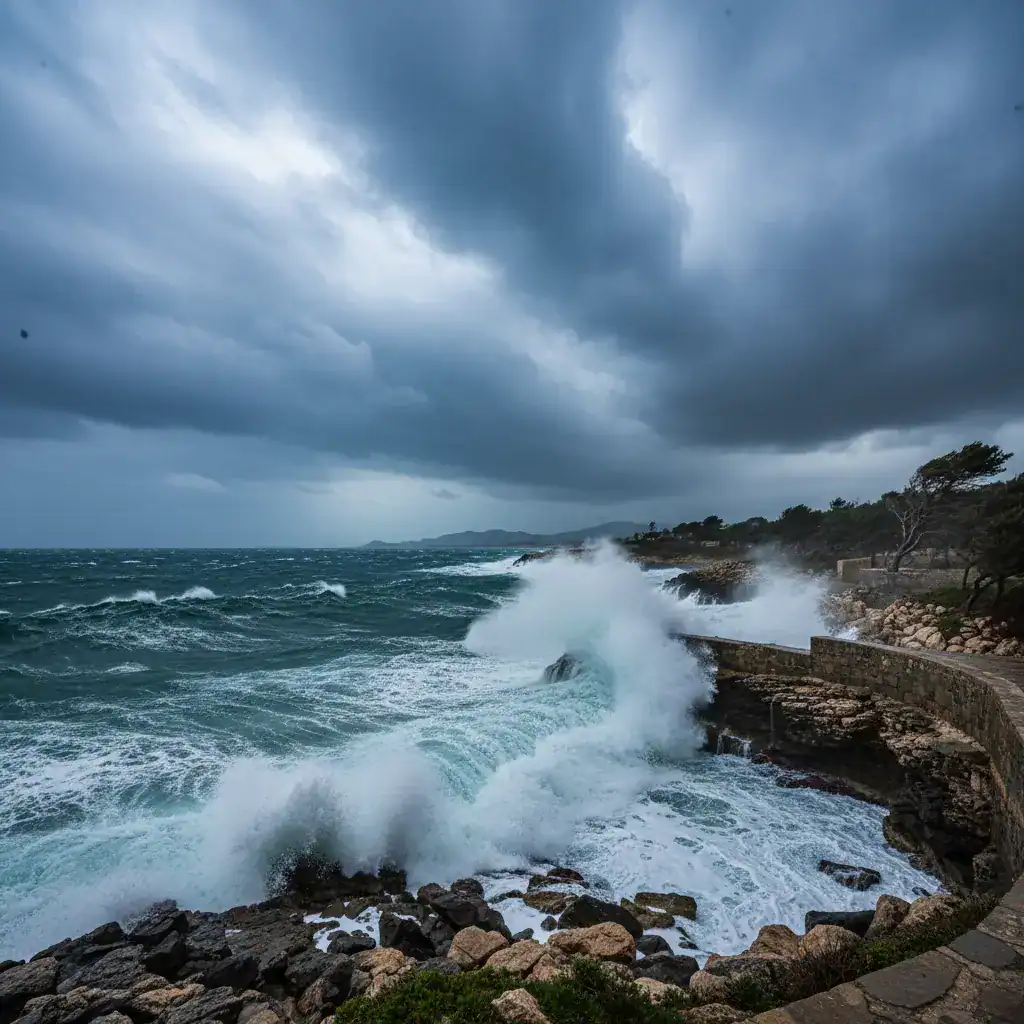
Corfu, Greece – January 6, 2026 – The Northern Ionian region, particularly Corfu, has been experiencing severe weather conditions, with strong to gale-force southerly winds dominating since Monday morning, January 5th. Gusts have consistently exceeded 60-80 km/h, causing significant disruption and prompting close monitoring by local meteorological services.
Record-Breaking Wind Gusts in Avliotes
According to the automated meteorological station network of Corfu & Paxos, operated by meteoCorfu, the highest wind gust was recorded in Avliotes, located in northwestern Corfu (at an altitude of 17 meters). The Ionian University’s station at this location registered a staggering 10 Beaufort gust at 7:25 PM on Monday, highlighting the intensity of the weather phenomenon.
Detailed Wind Gusts by Area:
- Avliotes, NW Corfu (17 m): 10 Beaufort (highest recorded)
- Valaneio, NW Corfu (175 m): 62.8 km/h – 8 Beaufort
- Sinies Porta, NE Corfu (363 m): 59.4 km/h – 7 Beaufort
- 1st EPAL Corfu, Mantouki (6 m): 57.9 km/h – 7 Beaufort
- Gouvia Marina, Central Corfu (5 m): 53.1 km/h – 7 Beaufort
- Ieromonachou Paxos (80 m): 51.5 km/h – 7 Beaufort
- Mountainous Petaleia, Northern Corfu (650 m): 48.3 km/h – 6 Beaufort
These figures underscore the widespread impact of the strong winds across various parts of Corfu and the surrounding islands.
Weather Forecast for the Coming Days
The weather patterns are expected to remain dynamic over the next few days, with a temporary respite followed by a return to more adverse conditions.
Epiphany (January 6th) & Wednesday, January 7th:
Rainfall and thunderstorms are anticipated intermittently across the Northern Ionian, with a particular focus on Corfu, the Diapontia Islands, and Paxos. Residents are advised to exercise caution due to the possibility of localized heavy downpours.
Early Morning Tuesday, January 6th:
Winds are expected to gradually weaken, with average intensities of 5-6 Beaufort. However, gusts could still reach 6-7 Beaufort, and temporarily up to 8 Beaufort in western coastal areas.
Wednesday Evening, January 7th – Thursday, January 8th:
Wind directions will shift to northerly-northwesterly, bringing colder air masses and a noticeable drop in temperatures. This change is expected to usher in a period of significantly cooler weather.
Thursday Evening:
There is an increased probability of snowfall on the peak of Mount Pantokrator. A light dusting of snow is also possible at altitudes above 500 meters, marking the first significant snowfall of the season in these higher elevations.
Saturday, January 10th:
Another shift in wind direction is forecast, with winds turning southerly-southwesterly at 7-8 Beaufort. Gusts could potentially reach up to 9 Beaufort, indicating a return to strong wind conditions. Further updates regarding this development will be provided on Wednesday.
The weather forecast has been prepared by Nikolaos Vlachos, an amateur meteorologist and forecaster, whose expertise is crucial in providing timely and accurate information to the local community.
Residents and visitors to Corfu and the Northern Ionian are urged to stay informed about the latest weather updates and take necessary precautions to ensure their safety.
Source: [kerkyra.net](https://kerkyra.net/meteocorfu-megistes-ripes-anemou-enimerosi-kairou-gia-tis-epomenes-imeres/)