Severe Weather Deterioration Expected in Northern Ionian – Corfu Region
Date of Publication: November 25, 2025
Last Updated: November 25, 2025
Applies to: All residents and visitors of Corfu and the Northern Ionian
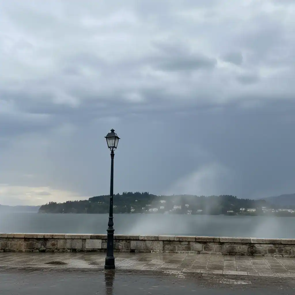
A new severe weather front is expected to affect the Northern Ionian, particularly the region of Corfu, from Tuesday, November 25th, to Friday, November 28th. Low-pressure systems originating from Northern Italy and the Balearic Islands are moving eastward, while high-pressure systems cover Turkey. These conditions will lead to a gradual increase in south-southwesterly winds, reaching up to 7 Beaufort, and the onset of rains and local thunderstorms across the Northern Ionian.
While coastal areas may experience intense phenomena, they are expected to be milder than those observed last week. Temperatures will see a slight increase, mainly in their minimum values.
Risks and Recommended Precautions
Given the recurrence of adverse weather in recent days, there is a heightened risk of:
- Local floods
- Blocked roads
- Falling trees / landslides
- Power outages, both local and widespread
All drivers are urged to exercise extreme caution:
- Drive at reduced speeds
- Maintain safe distances
- Avoid areas with standing water or debris
- Do not attempt to cross blocked roads
Parents should assess the conditions carefully before taking children to school.
Weather Forecast: Tuesday, Nov 25 – Friday, Nov 28
The weather will remain unstable, with frequent cloud fluctuations and scattered phenomena including local showers, rains, downpours, or isolated/sporadic thunderstorms. These may be intense at times, accompanied by strong electrical activity and potential hailstorms.
Winds
- Strong southerly winds of 6-7 Beaufort, with gusts up to 8 Beaufort.
- Increased probability of waterspouts in the marine area and very isolated land tornadoes.
- In the eastern marine areas (Corfu-Igoumenitsa): 3-5 Beaufort.
Temperature
Temperatures will be slightly above seasonal norms (approximately +2°C), with minimum values dropping, and single-digit temperatures in mountainous areas.
Fog
Local and occasionally dense fog is expected, particularly at high altitudes and in sensitive lowland areas.
Municipalities – Information
The Municipalities of North, Central (including Diapontia), and South Corfu will continuously update citizens. Vigilance and caution during travel are strongly advised.
This is the probable course of the new week, according to current forecast data. Due to the several-day distance, there may be changes in the position, course, and intensity of the phenomena. New updates will follow from my Facebook profile.
I sincerely hope that there will be no new serious problems from the adverse phenomena expected to hit our region again.
Stay strong, be patient, and have a good week everyone!
*Nikolaos Vlachos, Amateur Meteorologist – Local observer & weather forecaster
Contact Information & Further Resources
For the latest updates and emergency information, please refer to:
- Local Municipalities: Check official websites or social media channels for North, Central, and South Corfu for specific local advisories.
- Emergency Services: Dial 112 for immediate assistance in emergencies.
- MeteoCorfu Facebook Page: Follow Nikolaos Vlachos’s updates for detailed weather forecasts.
Source: https://corfutvnews.gr/meteocorfu-nea-sovari-epideinosi-tou-kairou-sto-voreio-ionio-nomos-kerkyras/